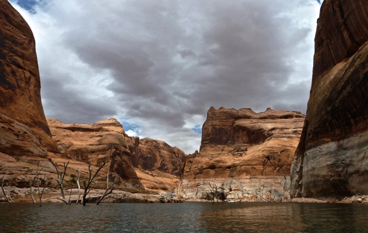
In the 1950’s somebody had the great idea to build the Glen Canyon dam and collect thousands of cubic meters of water rushing in from the the Colorado River into the Glen Canyon. It took 11 years to fill the Glen Canyon to it’s high water mark (the white colouring of the red sandstone walls that you see on the pictures) now being one of the most outstanding landmarks at the boarder between Utah and Arizona.
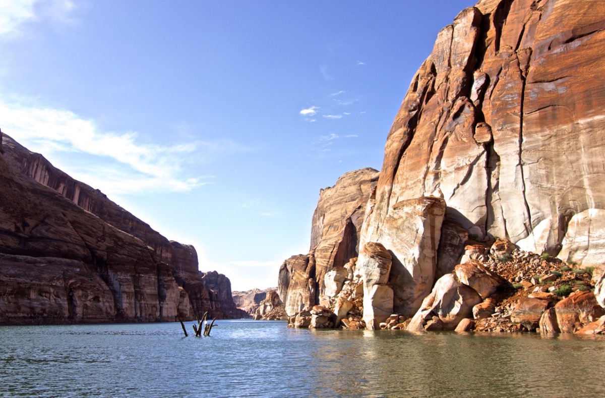
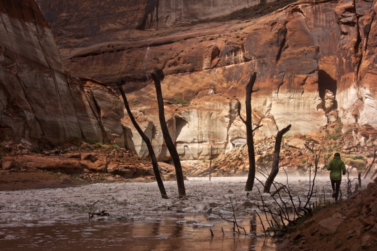
It’s a crazy landscape. 300 feet water below and 300 sandstone above. Dead tree trunks testify that this wasn’t always the case.
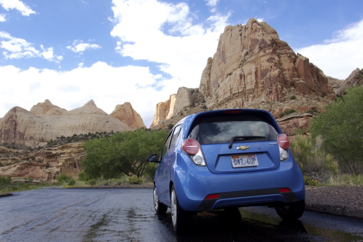
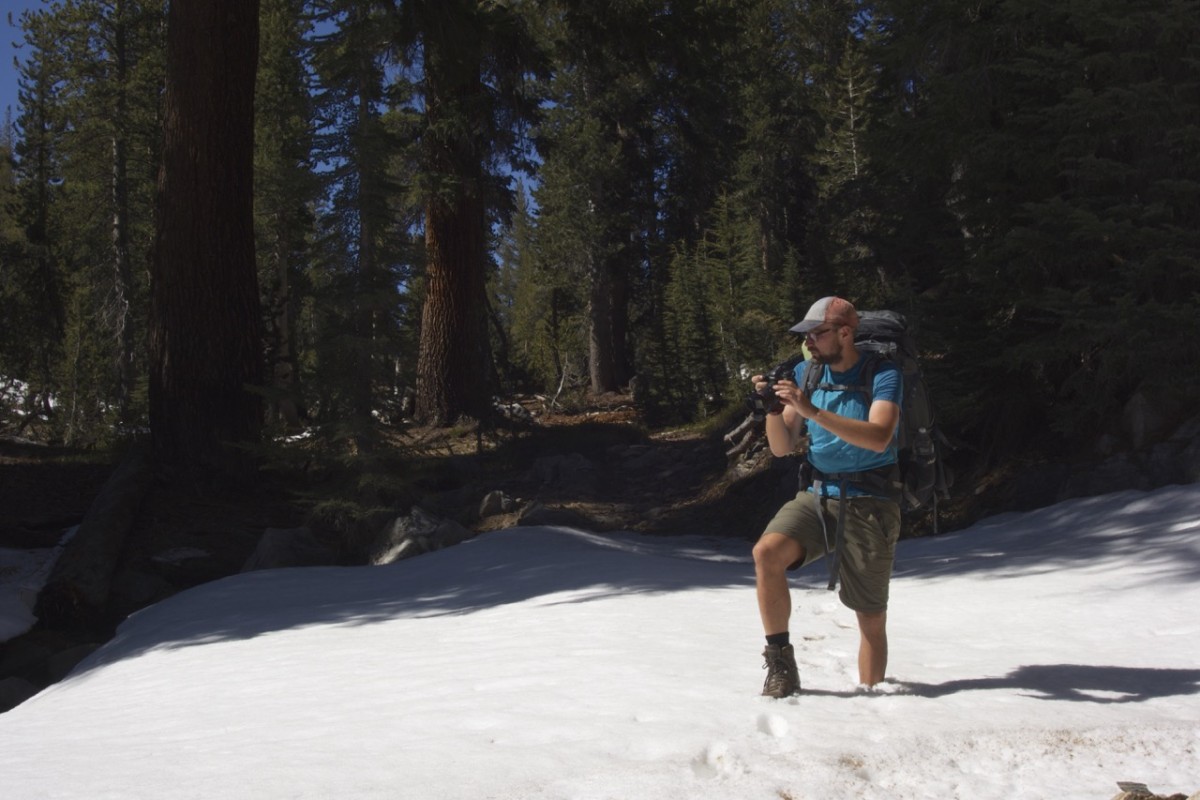
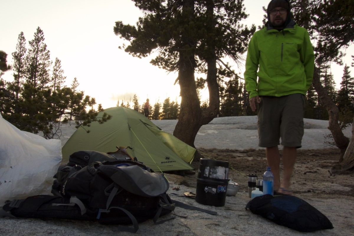
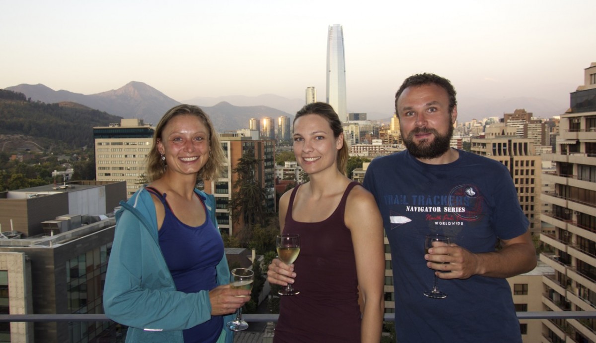
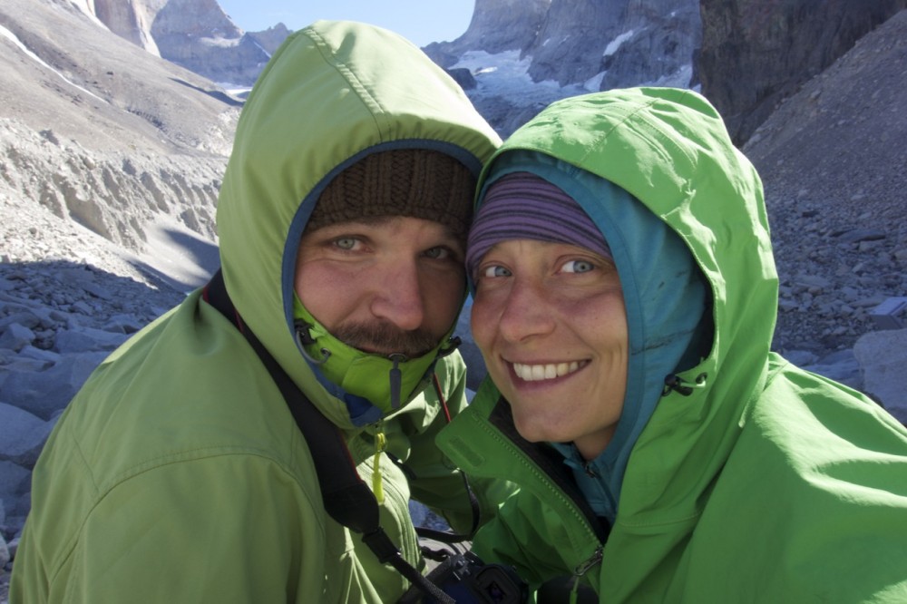
Tom decided to trade floating in a boat for some solitude time in the Rocky Mountains. Santos had to work. So with tents, bathing suits, a cooler filled with wine and beer and two bags of snacks Jen and me boarded Nicks Pickup and we were on our way to lake Powell in south Utah. I got a warning that we will travel with dogs, which however didn’t prepare me for Nikita, Sage, and Patina which were going to be a quite entertaining part of the trip. The three dogs were in the bigger end of the scale and very skilled in taking up every space you would allow them, resulting in a car ride were I frequently had a dog head or ass in my lap (not to talk about old Nikita’s gas problems).
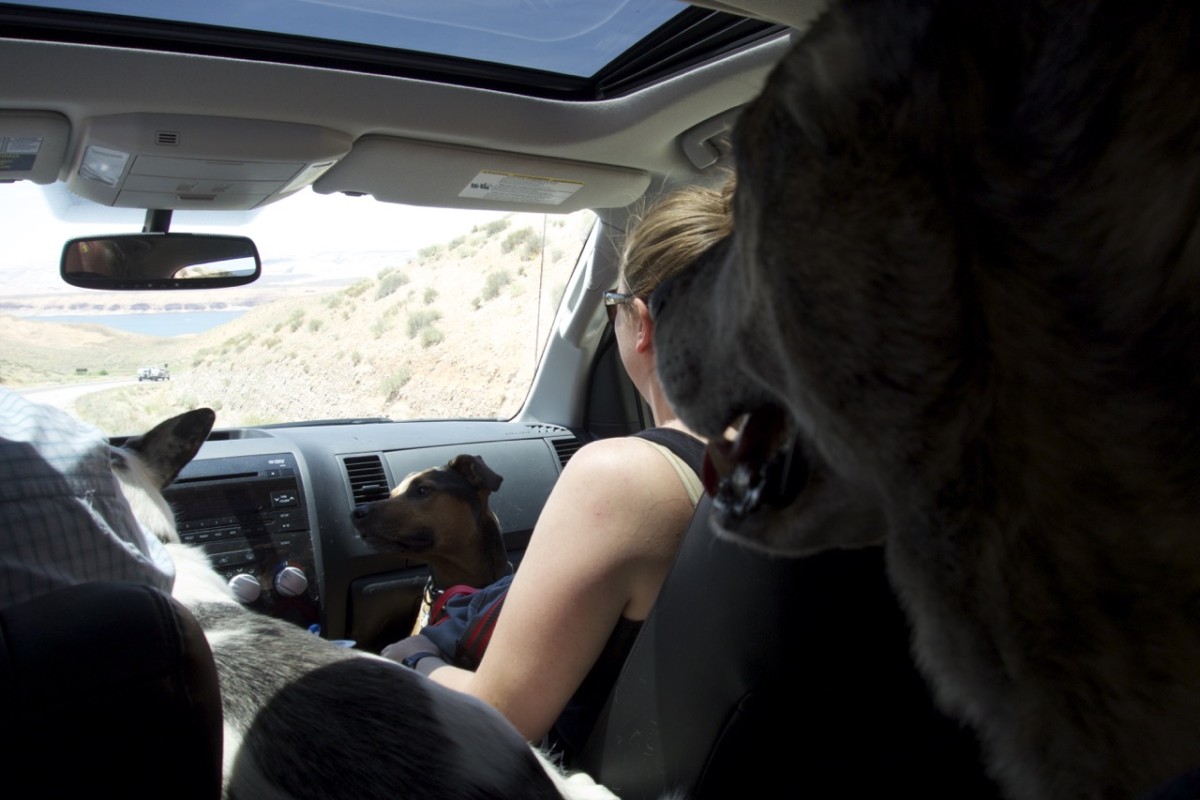
Traveling with three dogs in a Pickup is surely one of my more rare experiences.
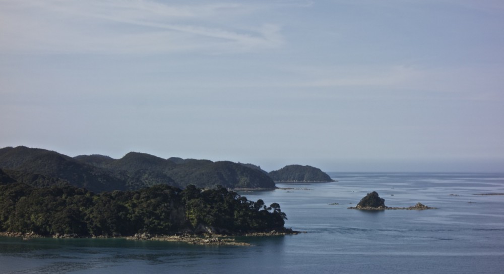
Nothing looking like icebergs in Iceberg Canyon – yet.
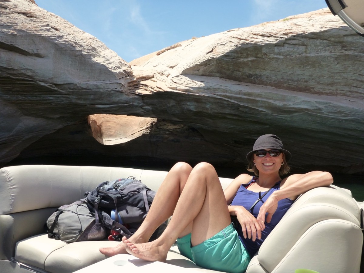
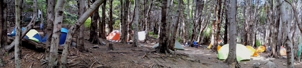
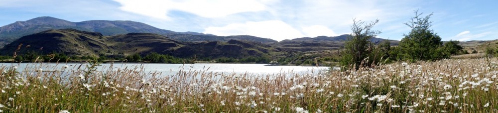
This is a very different way of enjoying great landscape compared to our usual hiking trips.
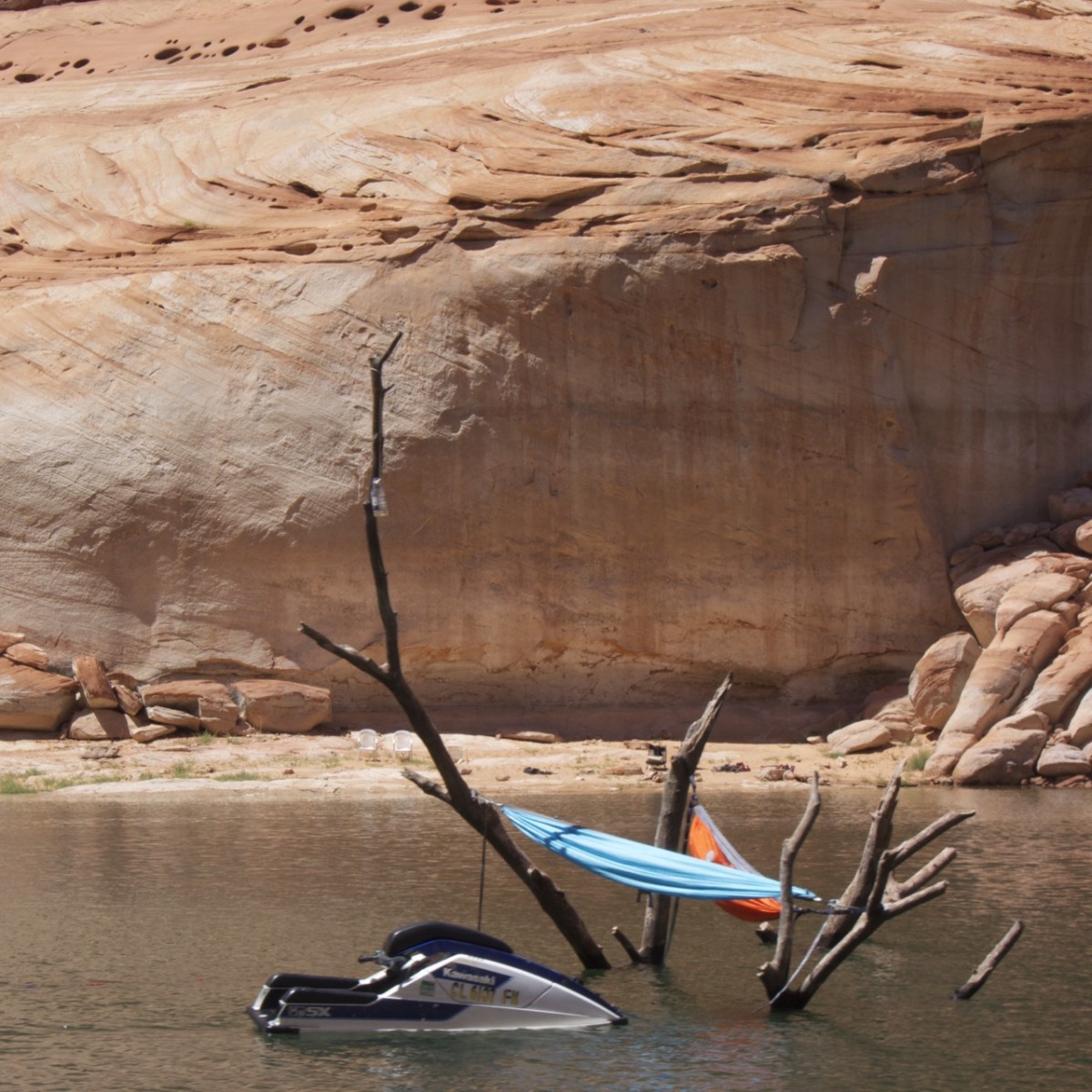
Our neighbours were even more professional in using existing circumstances for recreation.
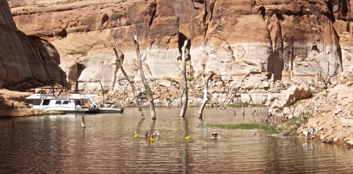
But I find to use rubber duck as floating devices for cocktails pretty great too.
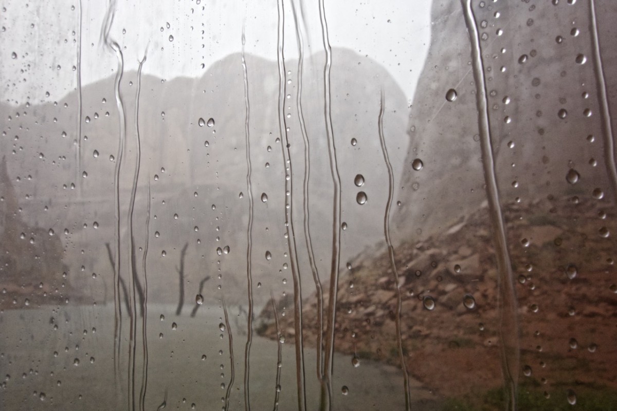
We managed to spent approximately 1.5 days with these very common activities while the other 2.5 days were dominated by trying to survive a little hurricane passing by lake Powell. Luckily Nick and Audra just got what we would call a glass house for their boat, so we could sit in the relatively safety and dryness watching the rain, the occurrence of waterfalls, and flash floods passing by.
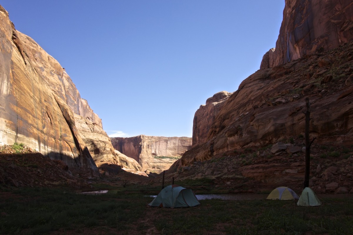
At the evening if our second day just after we arrived back from a little kayak exploration the wind picked up dramatically, flipping over cooking tables, playing sail with the boat enclosure and flattening out our tents. Everything was over in about half an hour leaving a soaked Jen (trying to keep frying pans from flying away), one broken and several bend tent poles.
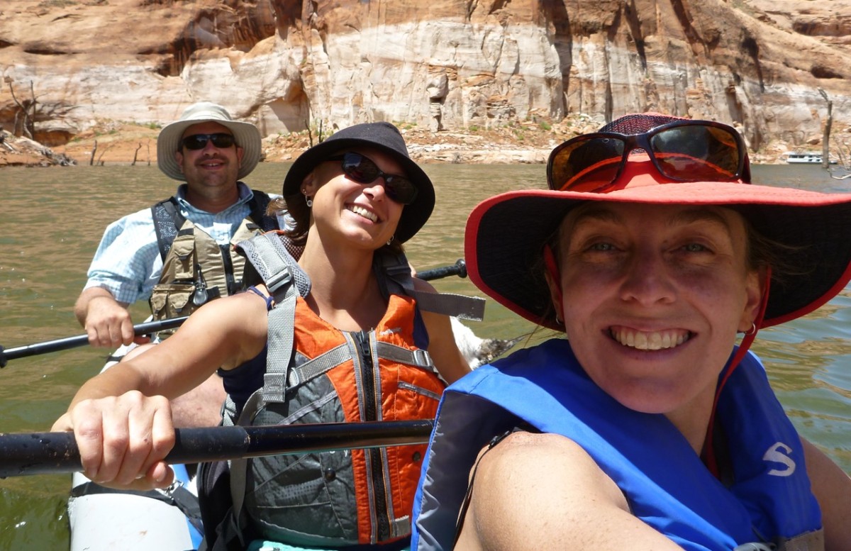
Enjoying the sunny morning paddling and hiking flooded canyon arms …
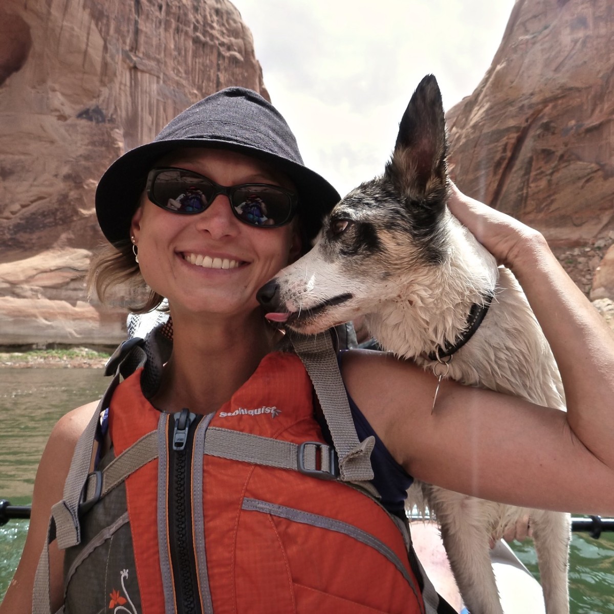
… Sage liking of my sun cream …
… before the first storm and heavy rain …
… forced us to to enjoy Nick’s and Audra’s new boat enclosure.
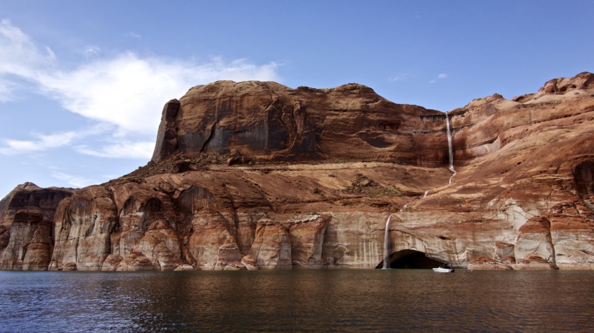
But after the rain comes the sun and in a canyon: waterfalls. So we went hunting waterfalls by boat. This one was my favourite.
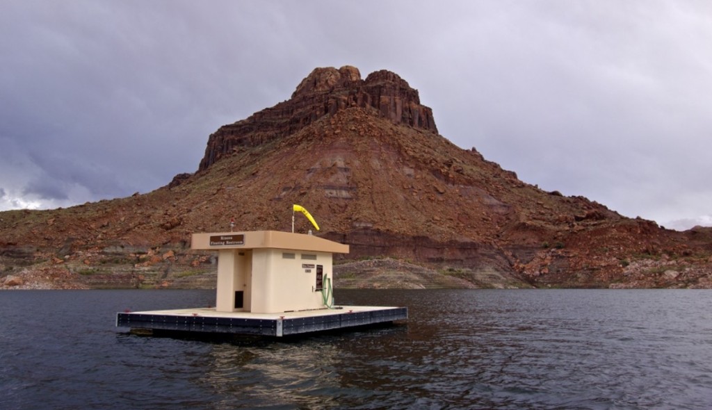
So much running water, sometimes also reminds us of our needs. In that case just go for the floating toilet.
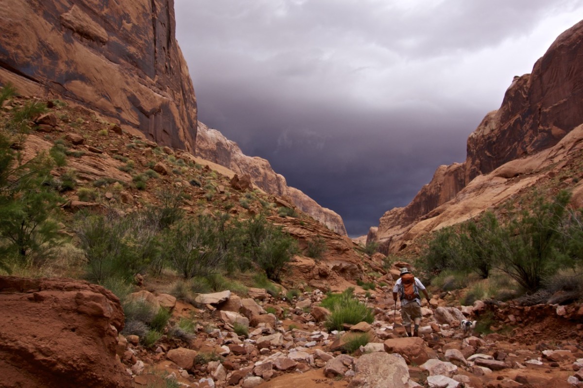
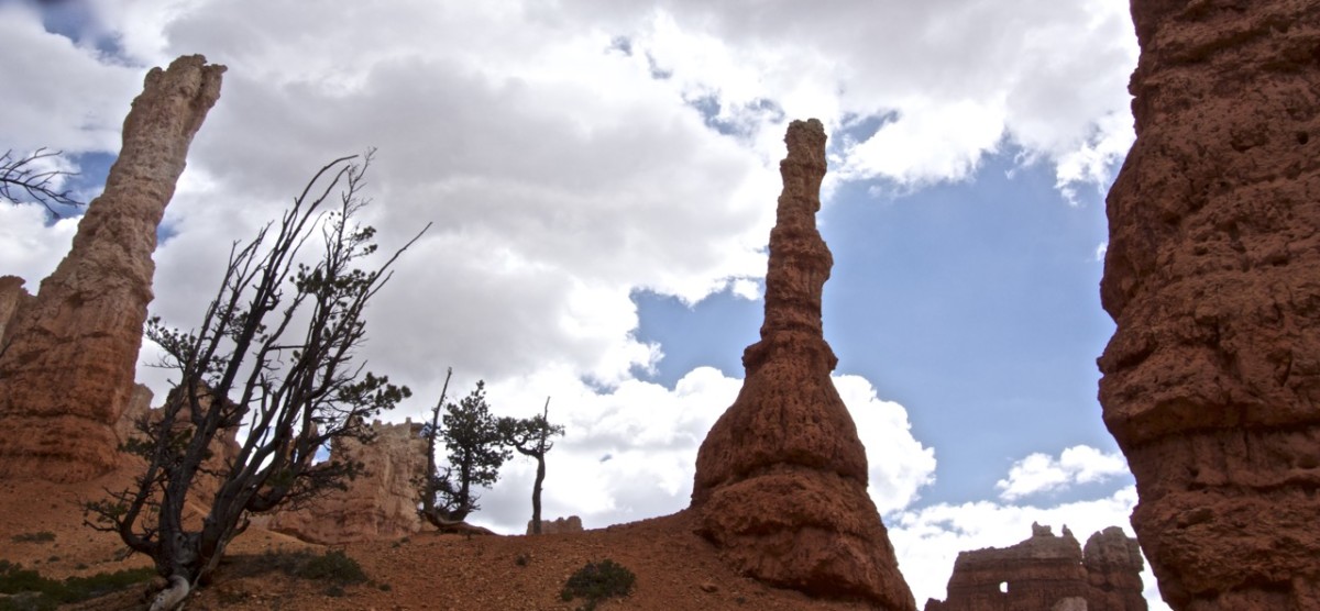
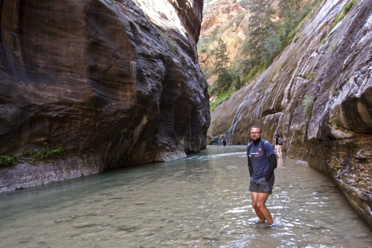
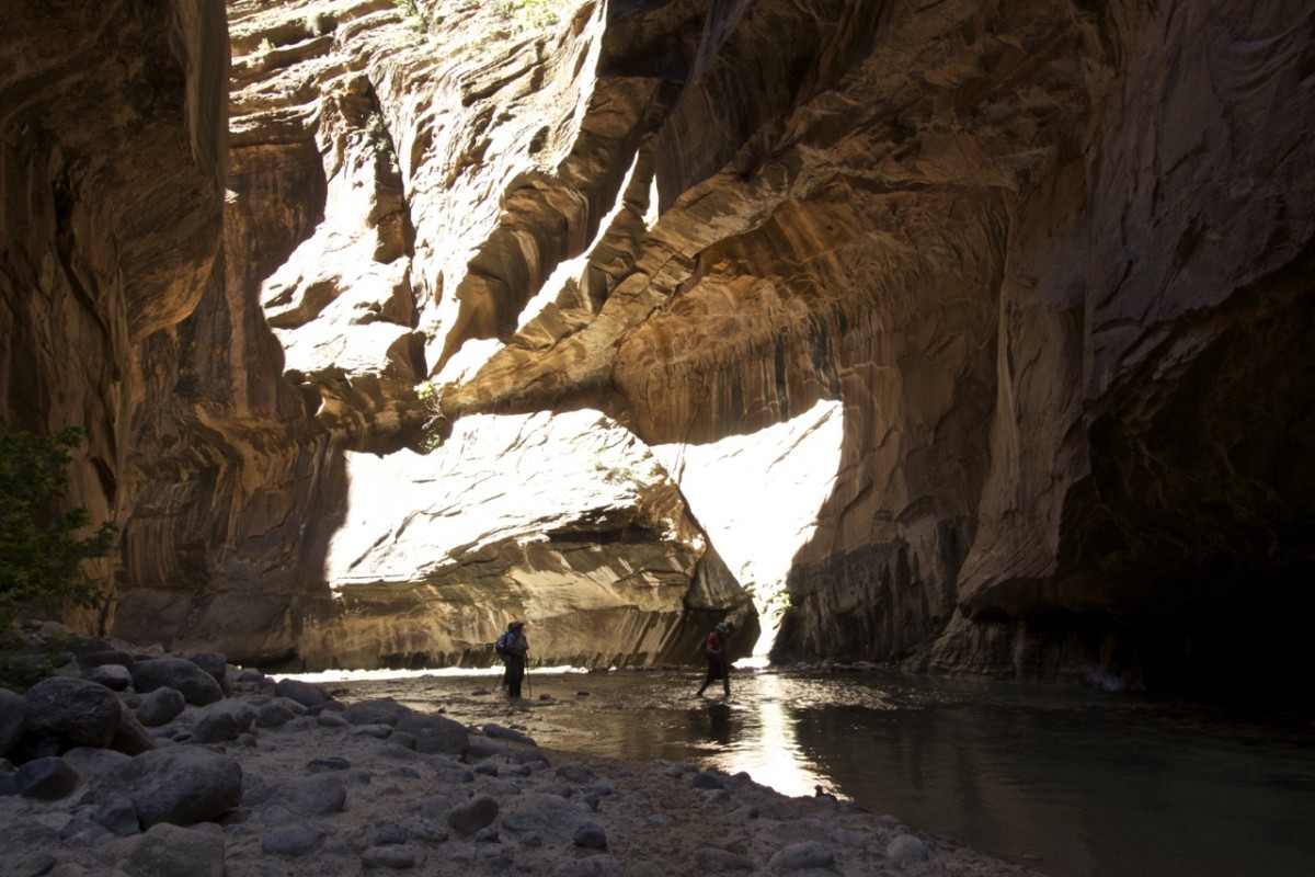
You don’t feel especially safe seeing this wall coming while hiking in a canyon.
Securely equipped with drinks and food we watched the heavy rain starting off waterfalls around us until the rain turned to hail, the falls started draining enormous amounts of water and a flash flood of hail and wood rushed down the canyon that we just hiked. I didn’t really know what was going on but the three freaked out Americans indicated that this was an once in a life time and pretty dangerous experience. Nick shot some movies that even made it to the news. Thank god we picked a beach that hold up to the flood and the boat was properly secured so we watched the „show“ from with a relative comfort. Even the tents survived without any further damage.

Ready for the show equipped with drinks and snacks.
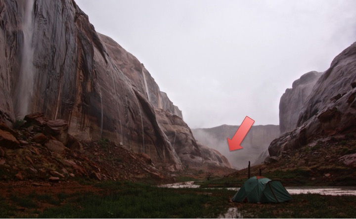
It’s not about the tent but the drainage flushing into the canyon behind it.
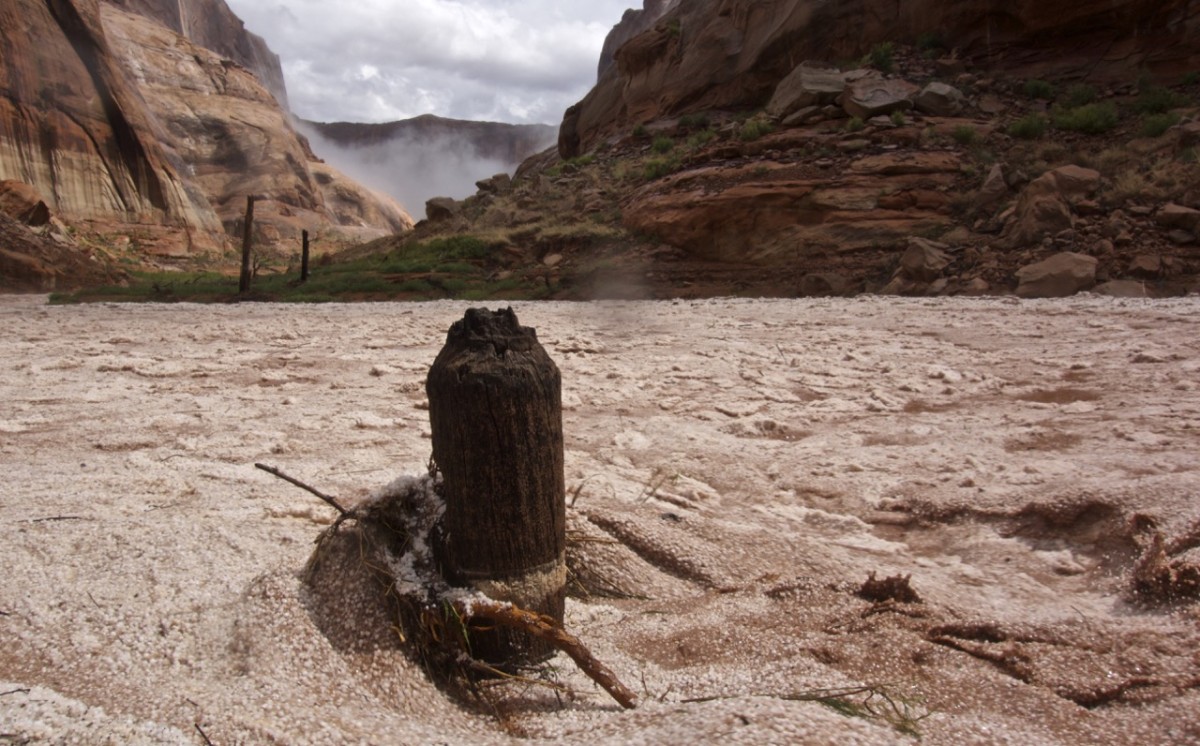
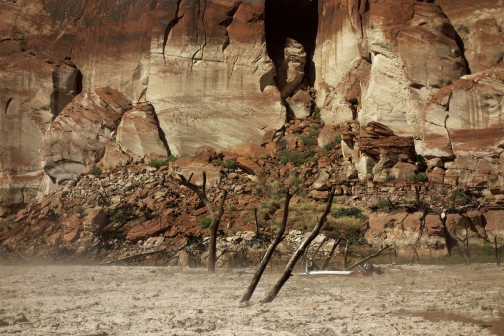
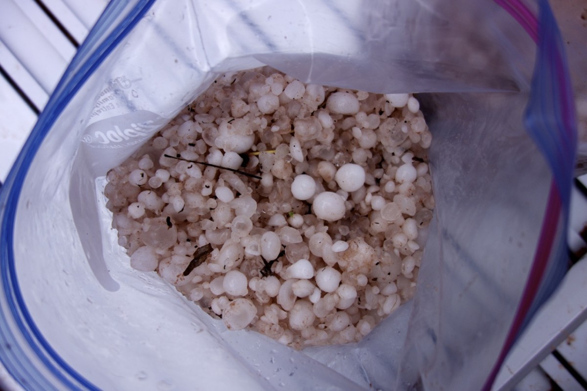
And the Iceberg Canyon changed into a a river of gooseberry big hail living up to it’s name.
Our way out was completely blocked by hail leaving us wondering with happened to the rest of lake Powell.
Our neighbour tried to get through as well, but in the end spend 1 h in his boat waiting for the hail to melt a little just to come back to his camp. Shovelling his way out with a wake board was rather unsuccessful.
Some freezing bags and a little hail worked wonder keeping our food and drinks cold.
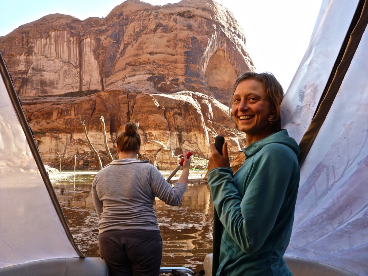
Good that we had a net and a rake. The engine didn’t really liked the debris.

My first time trying to climb a waterfall. I wasn’t quite aware off, that I would climb in the waterfall, when Nick proposed it.
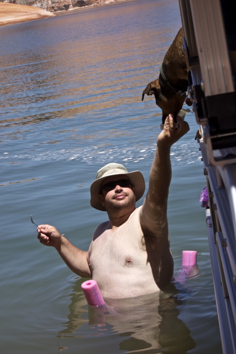
But being back in the sun it was warm enough again for the pool noodles.
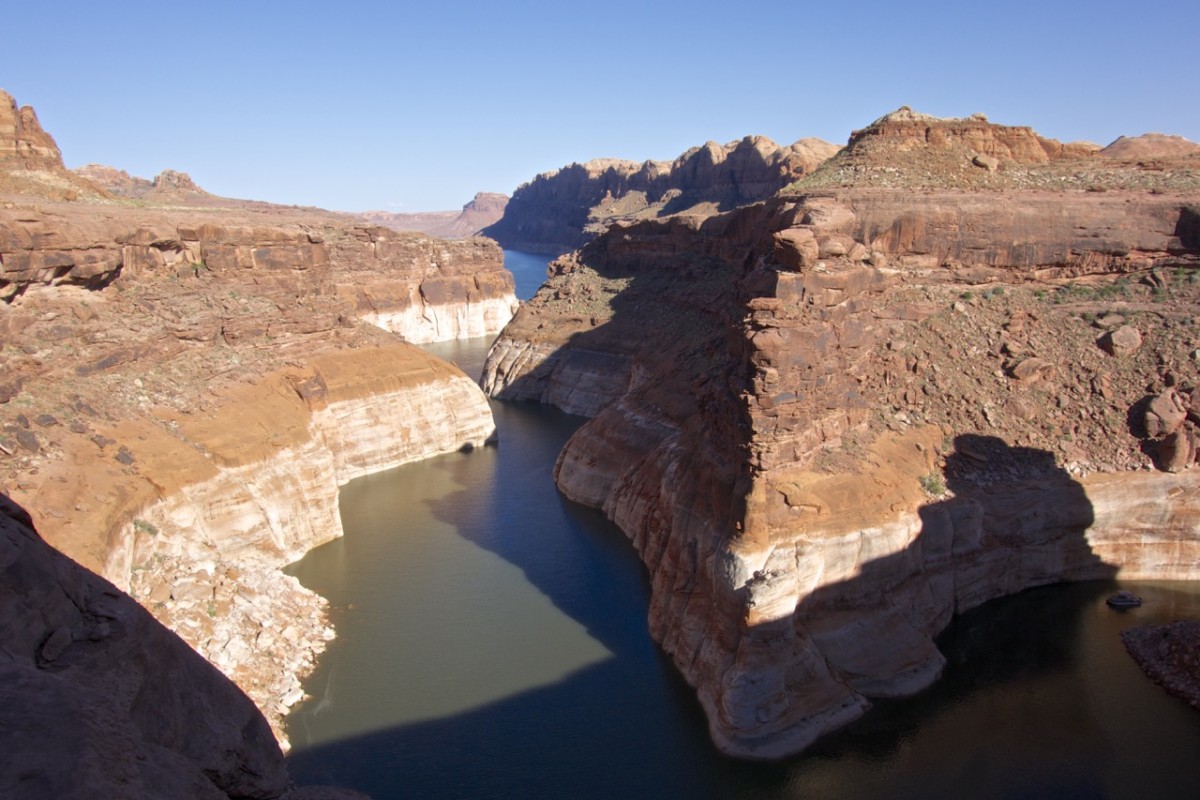
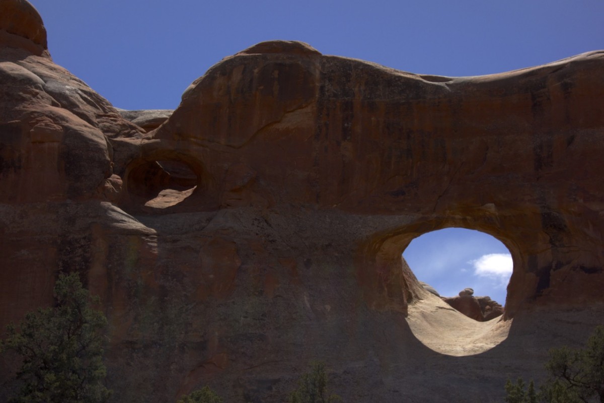
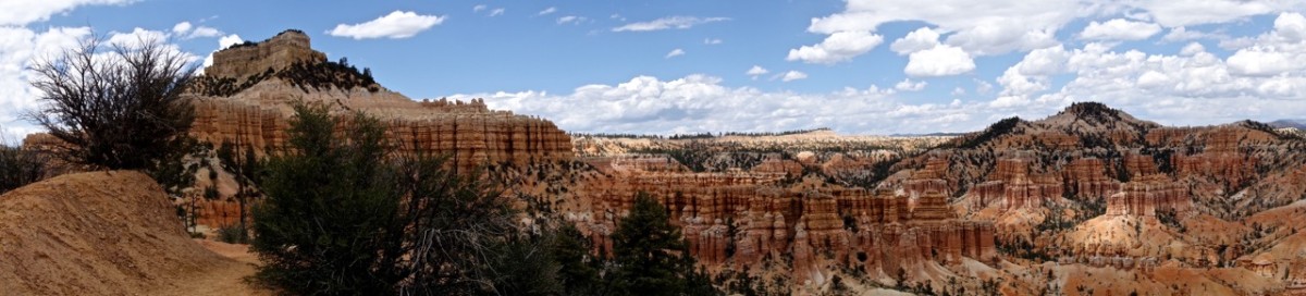
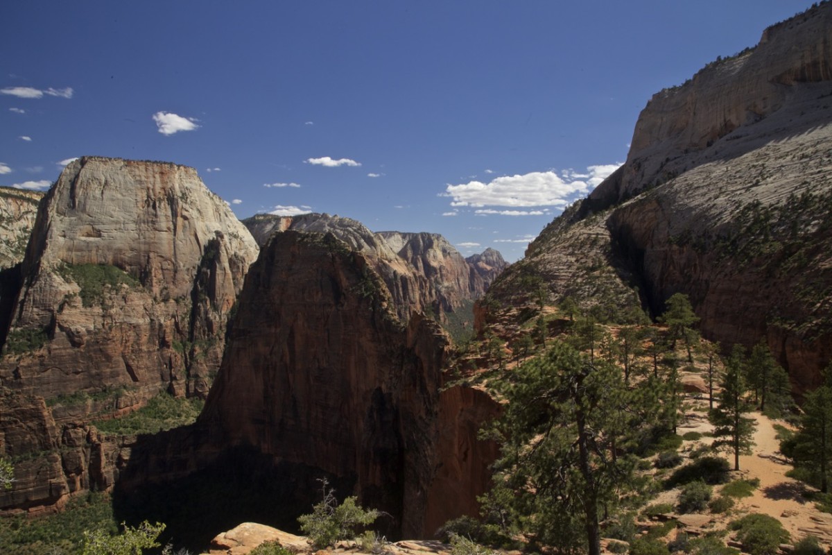
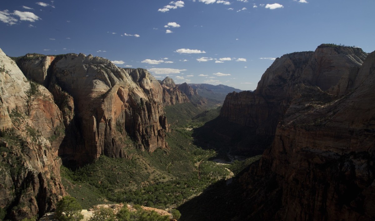
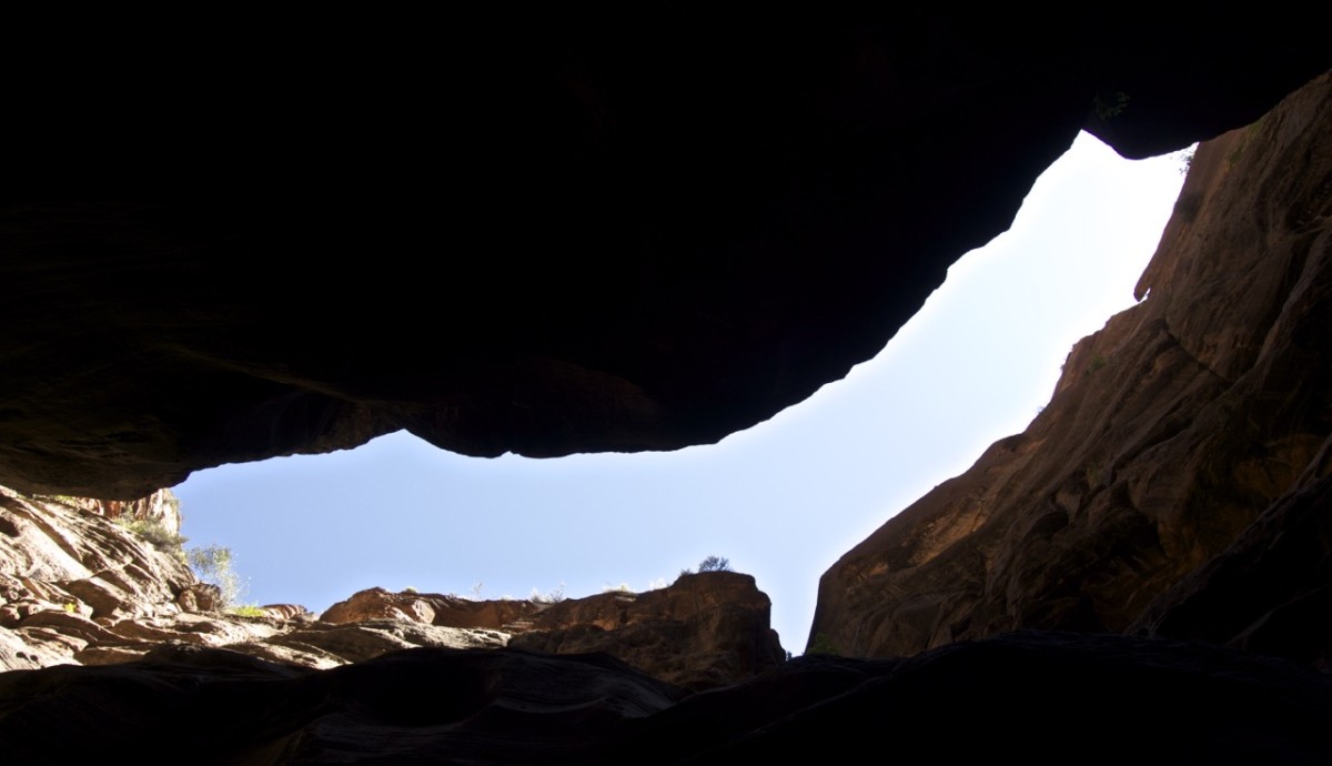
First from above the real dimensions of this place become clear.
The next day we packed up, cleaned up and started the long journey back to SLC.
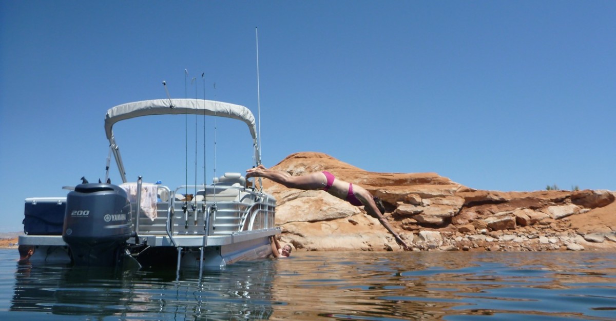
But don’t forget, no trip to Lake Powell is complete without a swim in Lake Powell.